Project Geovis
© Tom Fisk - Pexels

Traffic Change 2050

In this group project you will see how traffic will change in the canton of Geneva

Explore
Image 1
© nzz.ch
01

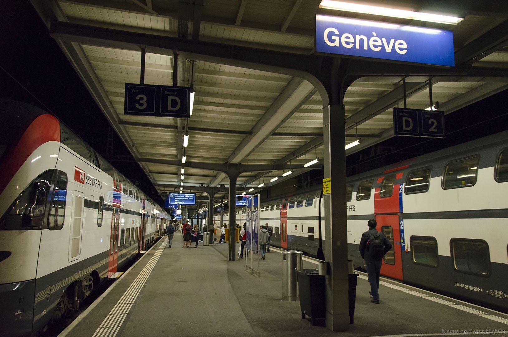
Introduction & Background

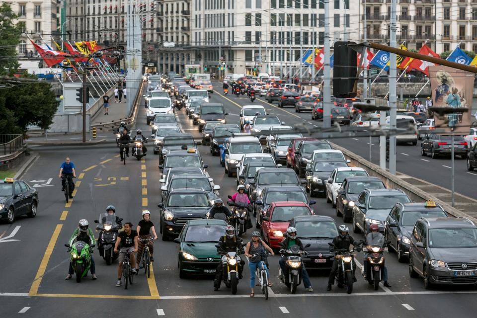
Traffic growth in Switzerland is also predicted for the future. Many different factors have an influence on this development. Economic and social trends influence the growth forecasts. Above all, GDP & population are increasing. This growth influences traffic to varying degrees. Transport growth can be divided into freight transport and passenger transport. A large growth of 31% is forecast for freight transport. Rail and road traffic will remain relatively stable, with delivery vans showing the greatest growth (approx. 58%). Passenger traffic will grow at a disproportionately low rate (approx. 11%). Public transport is used more (growth from 21% to 24%), as is cycling (from 2% to 4%). The car has recorded a more pronounced decline of around 5%. Overall, it is predicted that commuting to work will fall by 13% but that leisure travel will increase.

The Switzerland 2050 transport forecasts take 4 different scenarios into account. The scenarios are: Basis, Continue as before, Individualized society & Sustainable society. These scenarios differ primarily in terms of the implementation of the Paris climate targets, the introduction of environmentally friendly technologies and the degree of sustainability of the population. The Basis scenario is based on the federal government's mobility targets. Continue-as-before assumes the current regularities and does not include any of the changes mentioned above. "Individualized society" assumes strong technological development, which primarily affects people's comfort, while "Sustainable society" predicts greater technological progress in favour of sustainability.

Read More about this topic
02

Research Questions

This will be our research questions for the project:

  • Research Question 1

    How and where does Rail and Road traffic in the canton of Geneva change until 2050 according to the National Traffic Model of Switzerland?

  • Research Question 2

    What are the key differences between various municipalities in terms of traffic development?

03

UN Sustainable Development Goals

Our project aims to make a contribution to the UN's 17 sustainable development goals. We are focusing on 9 "Industry, Innovation and Infrastructure"and Goal 11 "Sustainable Cities and Communities"

UN Goal 9

Goal 9 encompasses several sub-goals, and our primary focus is on Goal 9.4. According to the UN, Goal 9.4 aims to "upgrade infrastructure and retrofit industries by 2030 to make them sustainable, with increased resource-use efficiency and greater adoption of clean and environmentally sound technologies and industrial processes, with all countries taking action in accordance with their respective capabilities." To ensure the achievability of this goal, it must be measurable. The UN's indicator for this goal is the ratio of CO2 emissions compared to the added value. Our project’s model forecast of transport in Switzerland for the year 2050 can significantly contribute to this goal. By providing a spatial representation of the changes, we can influence the planning of transport infrastructure. This approach can lead to several improvements: targeted investment in high-traffic sections of the rail and road networks, resilient infrastructure at critical junctions, and the relief of less frequented sections. By making targeted investments, it is possible to create a high-quality transportation network that improves the ratio of CO2 emissions compared to the value gained.

UN Goal 11

Regarding Goal 11 , our project addresses several sub-goals. For instance, Goal 11.2 aims to "provide access to safe, affordable, accessible, and sustainable transport systems for all by 2030, improve road safety, in particular by expanding public transport, paying special attention to the needs of people in vulnerable situations, including women, children, people with disabilities, and older individuals." The indicator for this target is the proportion of the population with convenient access to public transport. Additionally, Goal 11.3 aims to "enhance inclusive and sustainable urbanization and capacity for participatory, integrated, and sustainable human settlement planning and management in all countries by 2030." The visualization of transport changes by 2050 through our mapping can contribute significantly to these goals. It enables long-term improvements for people with specific needs through appropriate spatial planning adapted to the transport system. Ensuring this development is sustainable is crucial for achieving climate targets. By focusing on these specific goals and leveraging our project’s insights, we aim to support the creation of sustainable, inclusive, and efficient urban and transport systems that align with the broader objectives of the United Nations' Sustainable Development Goals.

Read More about this topic
04

Map

The map is disabled on mobile devices. Please use a desktop device.

Image 1
© www.tabimonogatari.net
05

Conclusion

In conclusion, the analysis traffic changes in the canton of Geneva until 2050 reveals significant trends and patterns as forecasted by the National Traffic Model of Switzerland. The following sections will delve into the detailed findings related to Research Question 1 and 2. The first section will be focusing on the specific changes in rail and road traffic across different areas of the canton (research Question 1). The second section will focus on the change related to each of the municipalities in Geneva (research question 2).

The rail network in the canton of Geneva is affected by many changes. The frequency of use is increasing, especially in the northern part of the canton up to the city center. The rail network along Lac Leman, across the French border, is particularly affected. Usage of the rail network in the city center is also expected to grow. A single decrease is to be expected in a small section of the network in Sécheron-Prieuré. The growth is greatest in the city of Geneva, particularly on the rail lines running south through the city, with a forecast growth of over 1000%. However, no clear change in traffic behavior in terms of usage can be seen across all rail sections. The values of the type of use mostly increase proportionally.

The road network in the canton of Geneva is undergoing major changes. For the most part, greater road use is to be expected. The range of percentage changes is very wide. In the city center, the more heavily trafficked roads have mainly seen growth of between 0-64%. Neighborhood streets (many of which currently have little traffic) can expect a decrease. This means that in the city, primary growth can be expected on the already heavily frequented roads. In rural areas and on the outskirts of the city, very high increases are to be expected in some cases. However, these increases are mainly due to the originally low level of traffic. In the rural peripheral areas of the canton, declines are forecast in some cases. However, no clear change in traffic behavior in terms of use can be seen across all road sections. The values mostly increase or decrease proportionally.

To answer research question 1, one can clearly see patterns of change in the canton of Geneva, with a clear increase in traffic for rail and roads. 

Image 1
© WOZ - die Wochenzeitung

For the road traffic in the municipalities, it can generally be said that in the more densely populated urban areas of the canton, especially in the city of Geneva itself the traffic change is smaller than in the more rural areas. As it can be seen in the Atlas statistique du canton de Genève [2]: Four of the five municipalities with the lowest population density have a change in traffic volume of +20% or less (the exception being Vernier with +26%), while all the municipalities with a change in traffic volume of 38% or more have a low population density.

For the Rail traffic it’s more the urban areas that have a bigger positive change in traffic volume. But for the railway it can be said that most municipalities have an increase, with two exceptions: On one hand the municipalities on the south-eastern line from Geneva to Annemasse (France) have a reduction in traffic volume and on the other hand the municipalities on the line to Bernex have also a negative change. According to the SBB online timetable the route from Bernex to Geneva is only served by a single tramline [3]. So, it can be assumed by looking at the maps that the municipalities along the lines from Geneva in direction to the rest of Switzerland and from Geneva in direction to Lyon and Paris experience a increase in traffic volume, while the municipalities along the other lines experience a decrease. But the strongest increase in volume is in the densely populated urban municipalities of Lancy and Carouge, which are not located on one of the two lines. From our map it is not possible to tell what the reason for the high numbers might be there.

Growth of the railroad

In the canton of Geneva there is a pronounced growth of the railroads. Growth is particularly strong in the city of Geneva, with the rail lines running south through the city being particularly affected.

Shift in road use

The city center has mainly experienced growth of between 0-64% in the more heavily trafficked streets. Neighborhood streets in the city will see a decrease. Less frequented roads in the countryside will also become busier in the future.

Less growth in urban areas

Municipalities with high population density experience a weaker increase in road traffic volume than municipalities with a low population density.

Increase along major rail lines

Municipalities on the lines connecting Geneva to the other Swiss cities and to big French cities like Lyon and Paris generally have an increase in traffic volume.

06

Limitations

Conseptual

The main data used is the National Passenger Transport Model (NPVM). The model is based on simplifications and averages, which means that local specificities in mobility behaviour are only partially captured. Methodological differences in the collection of reference values lead to further discrepancies, which should be interpreted with caution. Consequently, the map and its results are based on these validated and calibrated data, so their accuracy and reliability are closely linked to the quality of the data used. In addition, there are numerous data points where values are missing and the map does not address the uncertainty associated with these gaps. The pre-processing and aggregation of the data could result in the loss of data points and a generalisation of the data, potentially reducing the granularity and precision of the model outputs.

Technological

Technological limitations also affect the performance and responsiveness of the map, especially with large datasets. The map is particularly slow when handling the road dataset. R Shiny has limited design capabilities, making the UI design challenging and less modern than other parts of the site. Embedding the map via an iframe from an external R Shiny application contributes to potential compatibility issues with different browsers or devices. In terms of device compatibility, the map is explicitly disabled on mobile devices, directing users to use a desktop device to view the map. This limitation affects users who primarily browse on mobile devices. A disclaimer in the toast notification at the top of the document advises users that the site is not fully optimised for mobile devices and recommends the desktop version for a better experience. Because the map is embedded via an iframe from an external R Shiny application, it may not be compatible with certain browsers or devices, particularly older or less common ones. In addition, smooth scrolling is disabled on some browsers and devices, reducing the quality of the site's visualisation.

Visualization

The visualisation limitations of the map are addressed in the Map Design section. Go to the Map Design section

Overall, these factors highlight the various conceptual, technological and compatibility challenges affecting the NPVM and its associated map.

Image 2
© NON - unsplash.com
07

Methods

In the following section, we can see the methods used by our group to produce our final project.

08

Sources & used software

swisstopo
swisstopo

Swiss Federal Office of Topography

Direction de l'information du territoire (DIT)
Canton Geneva

Geographical Data

UN Development Goals

Source for Chapter 3

GIVA Projects
Previous class projects

Several student class projects have been carried out as part of this course. An overview of past projects can be found here.

Bootstrap 5
Bootstrap 5

The framework used for this website

R Shiny
R Shiny

The framework used for the web-map

QGIS
QGIS

The Software used for the preprocessing

National Traffic
              Model 2050
National Traffic Model

The Model used for the Visualization

More Sources


[1] ESRI," Data classification methods", ArcGIS Pro Help, URL: https://pro.arcgis.com/en/pro-app/latest/help/mapping/layer-properties/data-classification-methods.htm (accessed: 25.05.2024).

[2] Atlas statistique du canton de Genève, “ Densité de la population”, URL: https://statistique.ge.ch/atlas/#c=indicator&i=population.pop_tot&s=2023&t=A01&view=map3 (accessed: 25.05.2024).

[3] SBB, " Online Fahrplan", URL: https://www.sbb.ch/de (accessed: 25.05.2024).


09

About us

Claude Widmer

Claude Widmer is studying Geography with emphasis on GIS. His main tasks are the preprocessing of the data, as well as creating this website.

Benedikt Bär

Benedikt Bär is studying Geography with emphasis on GIS. In this project he is responsible for the RShiny programming for the web-map and for writing the corresponding texts.

Damian Durrer

Damian Durrer is studying Earth System Sciences. He is responsible for the general organization (e.g. meeting the deadlines) and the RShiny programming for the web-map.

Contact us!

We'll never share your email with anyone else.